
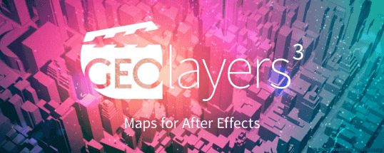
GEOlayers 3 lets you design and animate maps directly in After Effects.
It renders custom maps for you from different online data sources. It also provides direct access to extensive databases of geospatial features of the world. You can easily draw buildings to After Effects shape layers, highlight country borders, streets, lakes, rivers, places, regions, animate driving routes, and extrude buildings. Anything in the world that has geodata can be integrated as an editable asset in After Effects.
GEOlayers 3 comes with a large set of default map styles. But that’s not all. One-click lets you create a style from the colors of a composition, an image or Adobe Swatch file. You can also retrieve imagery from any common image-based tileserver. Platforms such as MapTiler Cloud can bring all its advantages of customizable basemaps directly into After Effects.


Comments0